Alte Vie
Generals, pilgrims and great champions over the alpine passes on the outskirts of Turin.
Period
May - Oct
Elevation difference
7920 m
Total Length
304 km
Duration
3/4 Days
I
Alte Vie
00
Intro
01
The memory of elephants and the indifference of steinbocks
02
From the Sacra to the Colle delle Finestre
03
Towards the Colle dell’Assietta
04
Beyond the Montgenevre
05
From Bardonecchia to Rochemolles and the Road of the Forts
06
Last apparitions before the finish line
To understand and appreciate the Val di Susa, one must therefore take a step back and learn its history. This is a frontier that has always been crossed and inhabited by humans. In the Alps there are not many hills and hairpin turns quite like those you find here, where, in the same place but over centuries, armies have come from all across Europe – and in one case even from as far as Africa. Emperors, kings, princes and generals, and then pilgrims, have travelled through here, and also the last champion of modern cycling, who completed, in his career, the Giro d’Italia-Tour de France-Vuelta a España triplet.
In short, in these parts one walks and cycles along roads and paths with the knowledge that they are neither the first nor the last to have come this way. And after all, it is precisely this feature that makes these routes unique, or at least interesting.
The fact that the Val di Susa is a land of roads and humans on the move owes much to its geography, that makes it one of the largest Alpine valleys for width and length, straddling two countries, France and Italy; countries that have been, over the centuries, at times brothers and at times enemies.
In 218 B.C. Hannibal most likely passed through here with his elephants, as some clues near Mont Cenis seem to suggest. Less than two centuries later, it is instead historically certain that Julius Caesar went through the valley, but in the opposite direction, toward Gaul, which the Roman army would invade and subdue. Charlemagne crossed furtively through here in 773, bypassing his Longobard enemies near Avigliana and then marching on Pavia. The Savoy in 1747 were to become the protagonists in one of the most symbolic battles of Piedmontese history, that of the Assietta-something we’ll get back to... in a few kilometres. Napoleon, half a century or so later, had the roads in the hills upgraded in order to strengthen his short-lived empire. In the last days of 1943, a few kilometres from Susa, Italian partisans carried out Europe's largest railway sabotage, blowing up the Arnodera viaduct and thus cutting off the Nazis’ connections with France. Finally, on May 25, 2018, Chris Froome on the Colle delle Finestre signed one of the most memorable pages in heroic cycling of the last half century.
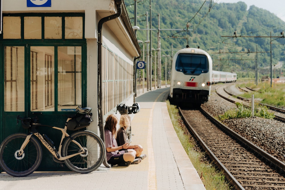
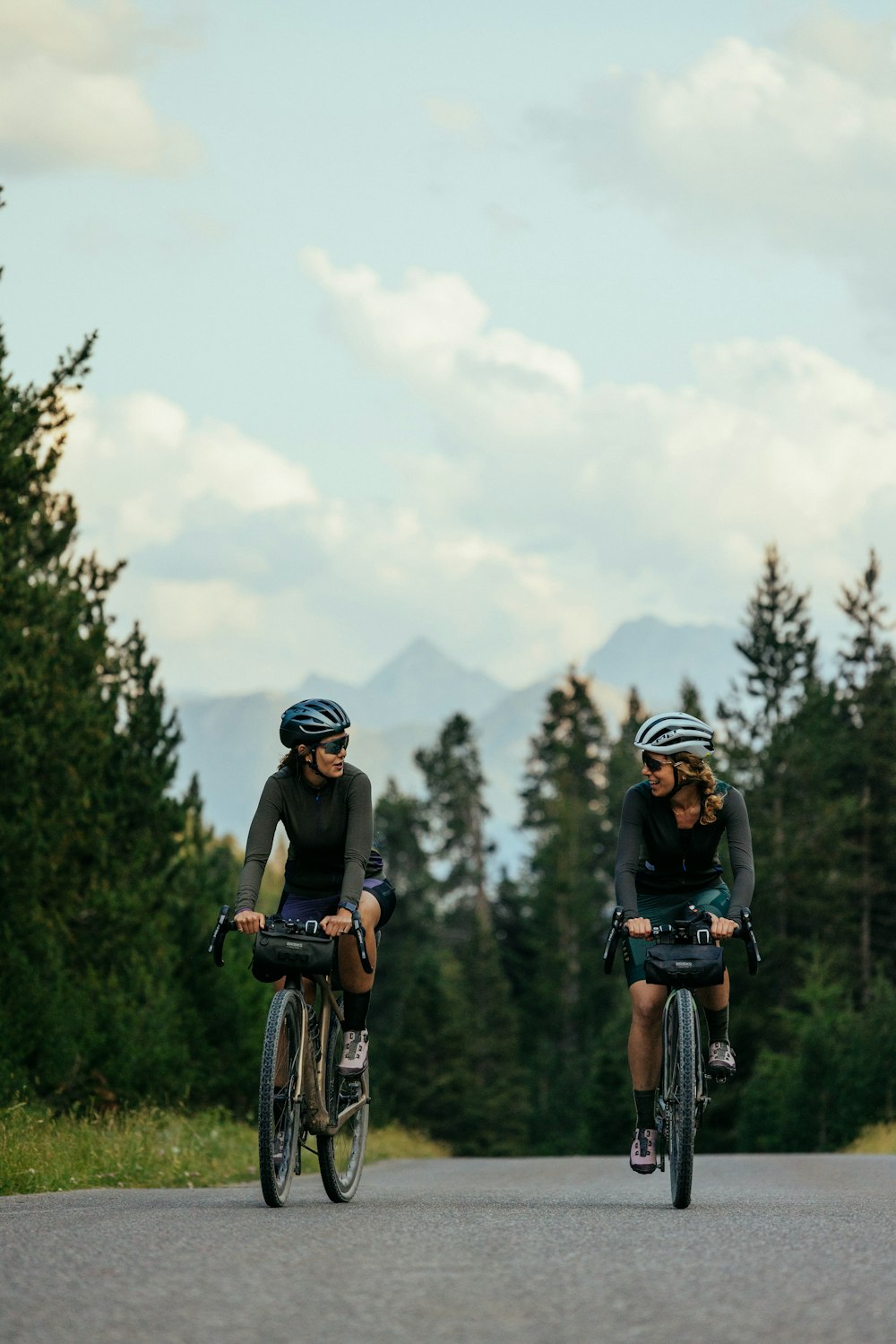
There’s no need to reinvent cycling routes in this valley: the centuries-old journeys from one side of these mountains to the other are evidenced by the dense network of roads that run all over them. There are the dirt tracks once used by pilgrims on the Via Francigena, the paved roads that connect cities and nations, and the many miles of military roads that, having once been crucial for moving horses and cannons to high-altitude posts, with their rough terrain and never too steep gradients have now become perfect for spinning the knobby tires of a gravel bike. All of this with the added bonus, not so common along the Alps, of having a railroad that runs all the way along the valley floor from Turin to Bardonecchia, making the train the perfect and reliable companion for travel logistics. There’s no need for a car around here.
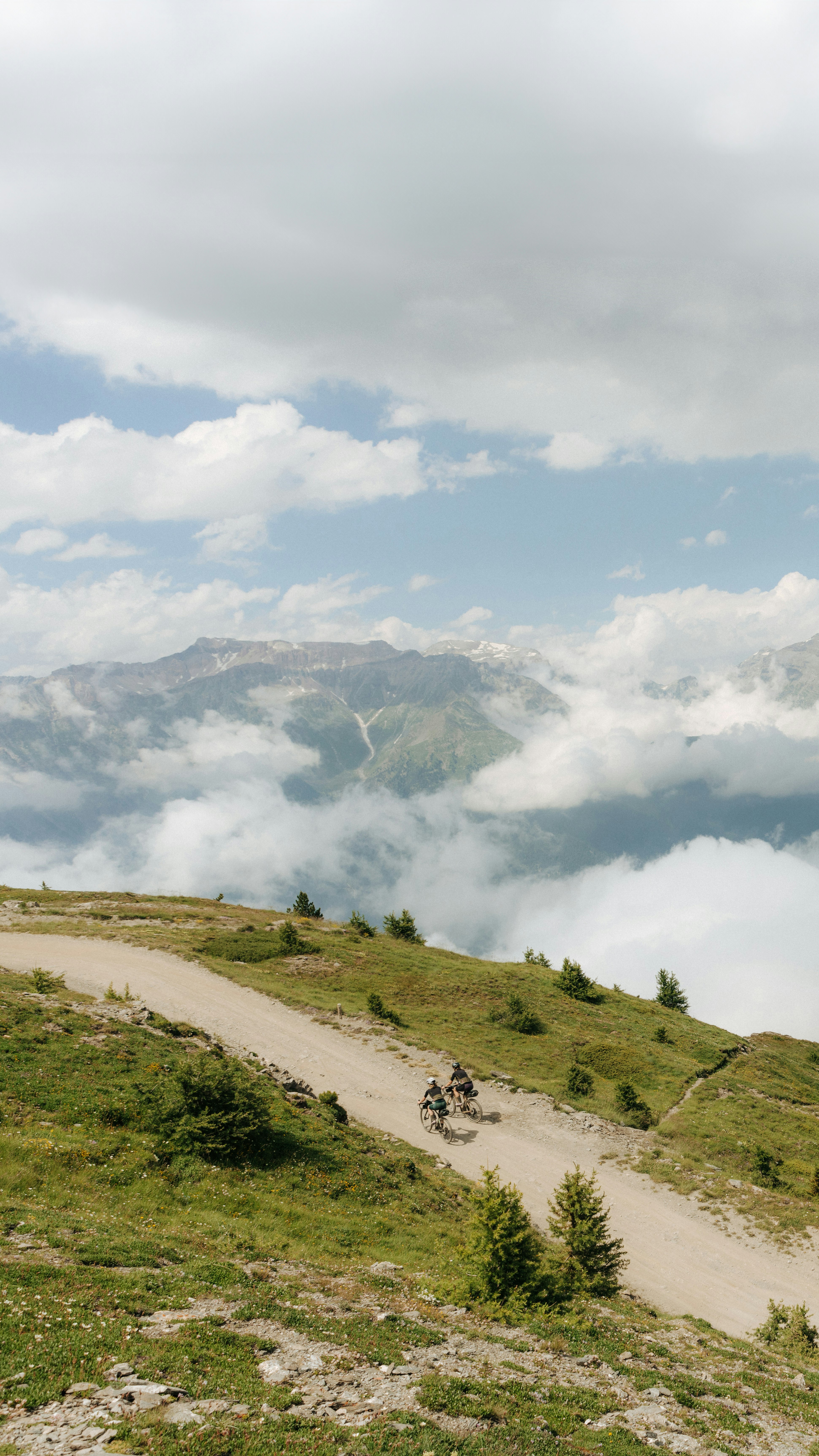
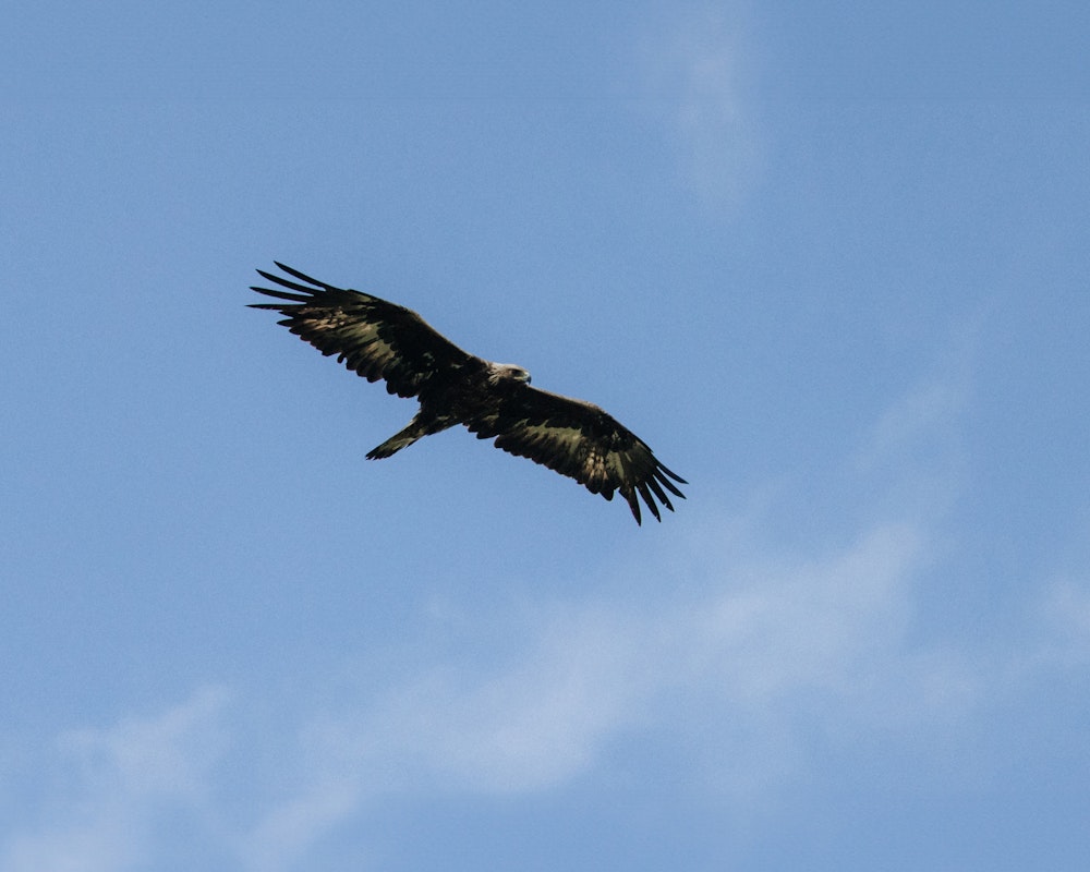
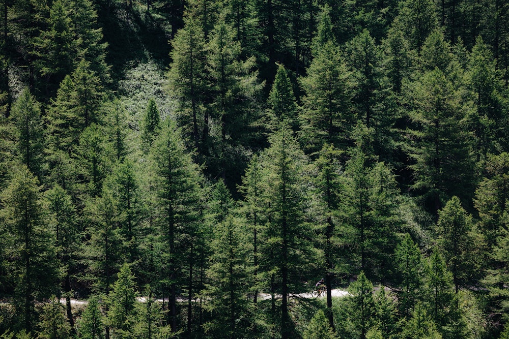
And then there’s the magic of the high lands and larch forests, parallel universes where it only takes a couple of kilometres to suddenly feel alone in the midst of nature and silence: in the morning you might be engulfed in the din of the Porta Nuova train station in Turin, but in Val di Susa, within just a few hours, you can be cycling on a dirt road at over 2.000 meters, in the company of high-flying bearded vultures that ride the thermal currents and steinbocks grazing lazily on a few grassy terraces on the steep, rocky slopes.
Our exploration of the Susa Valley starts from the station of Avigliana, at the point where, from the hills of Turin, the pianura padana narrows and becomes a valley going up between the mountains. Avigliana has always been the gateway to the Val di Susa, so much so that in Roman times it was the place where duties were collected on the goods transiting to Gaul.
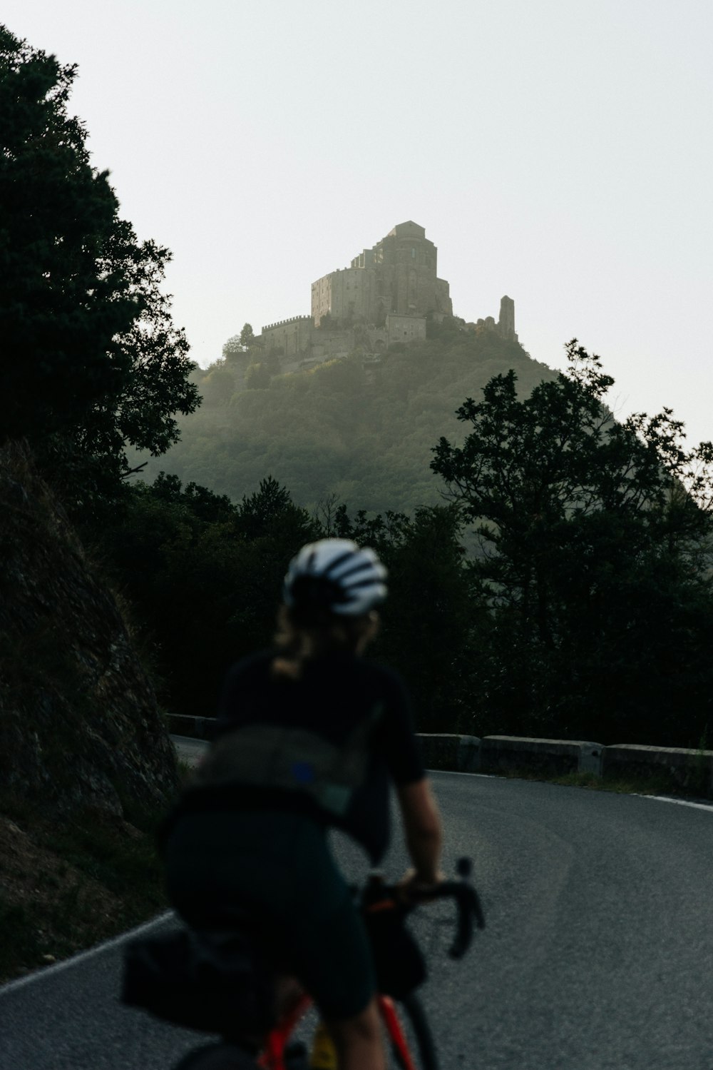
We too, on bicycles, will have to pay our tax to enter the valley: it’s the paved climb that leads to one of Piedmont’s iconic monasteries, the Sacra di San Michele or, for all of Turin’s residents, simply La Sacra. They say that it was from its naves overlooking the summit of Monte Pirchiriano that Umberto Eco was inspired to reconstruct the Benedictine abbey in which the events of his historical novel The Name of the Rose take place.
The descent that follows gives you a chance to catch your breath; the warm-up has been completed. The next twenty kilometres are flat and go by quickly along the small roads of the Ciclovia Francigena, on which the local authorities are investing heavily, that allow us to cycle far away from motor traffic.
Arriving near Meana we see the road sign we had most wished for, the one that makes us draw a deep breath, as if to make room in our lungs for all the air we will need in the coming hours: Colle delle Finestre, 18 km. The total length of climb is there, in white on blue writing. The meters of elevation gain, on the other hand, are easy to calculate: 1.700, and almost half of them on gravel.
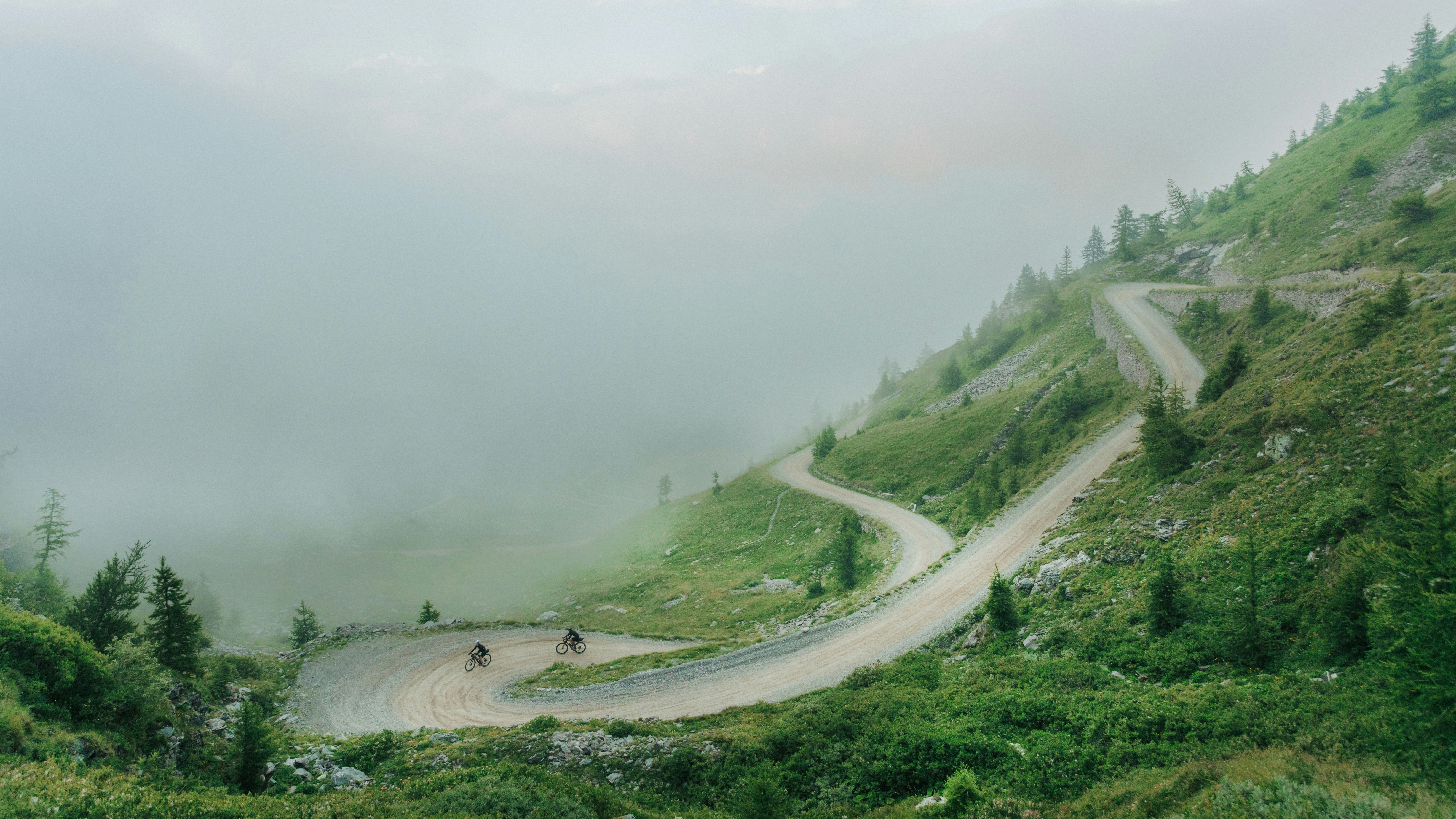
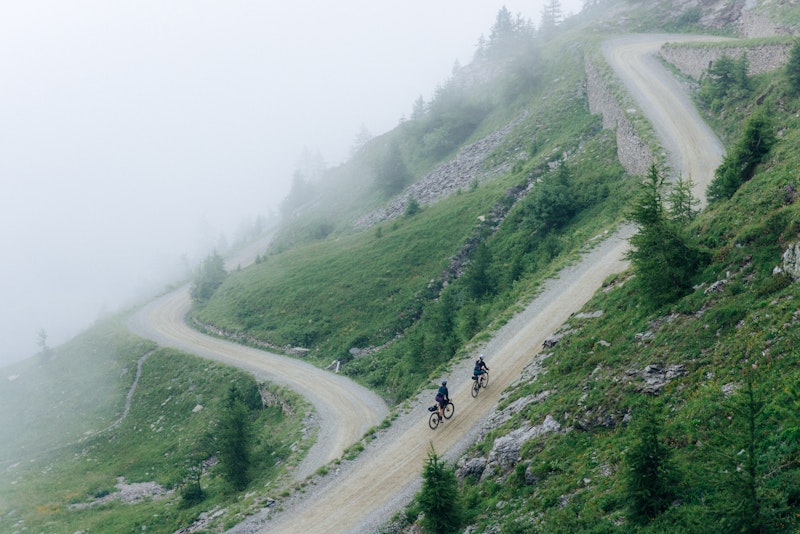
Full water bottles and open jerseys, we start climbing in energy-saving mode, trying to escape the heat that grips the valley floor. For once the steepest section is all at the start of the climb: only a few harpin corners are at 14%, then the rest is steadily, scientifically at a 9% gradient. This is an unintended gift to cyclists, handed down by the military engineers who designed this road in the late 1800s.
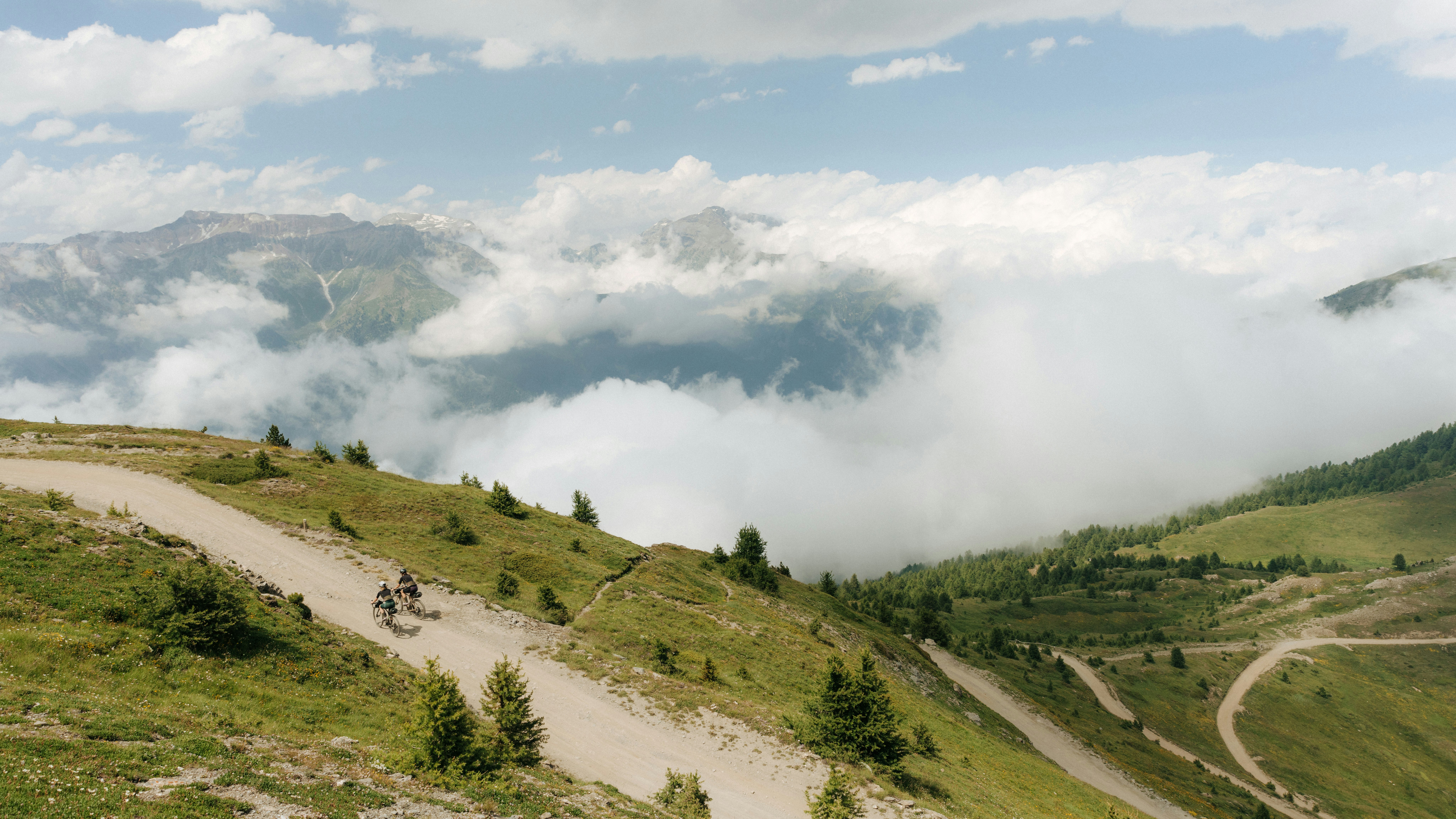
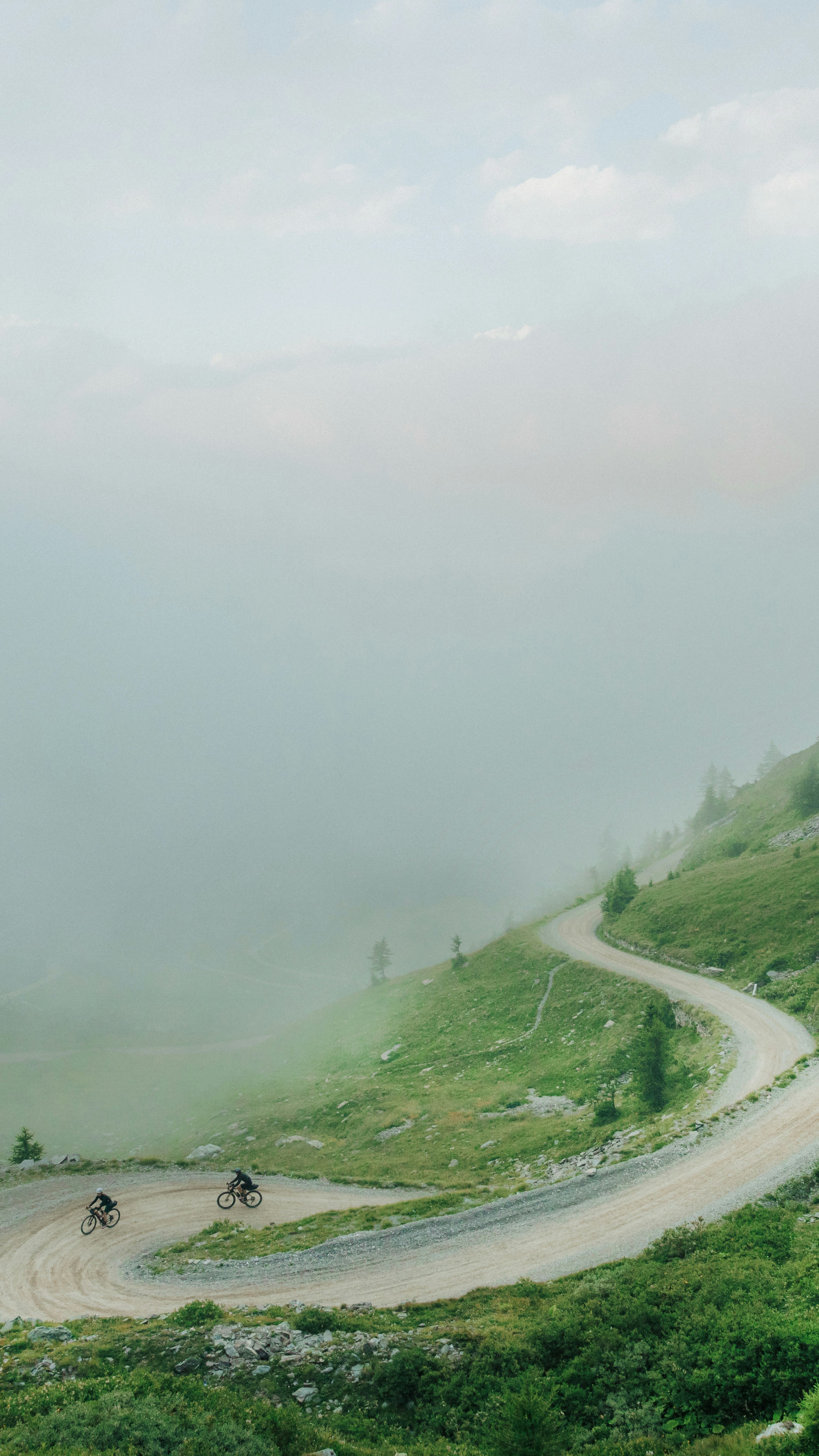
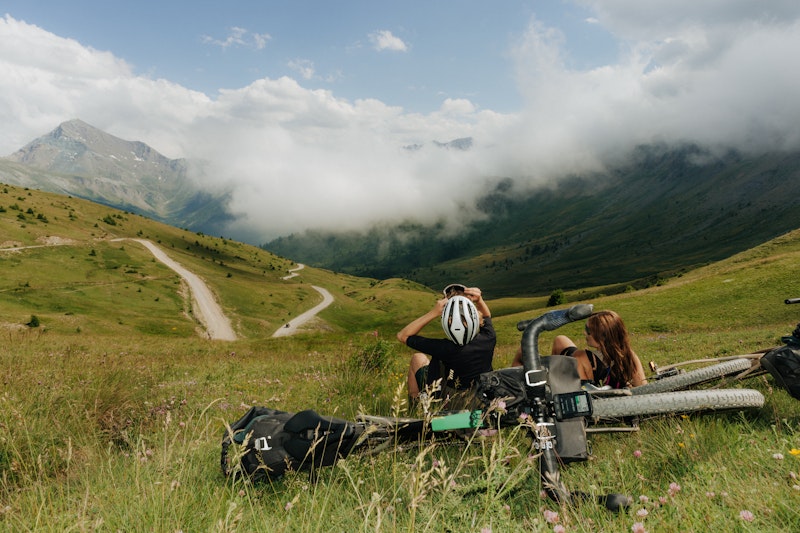
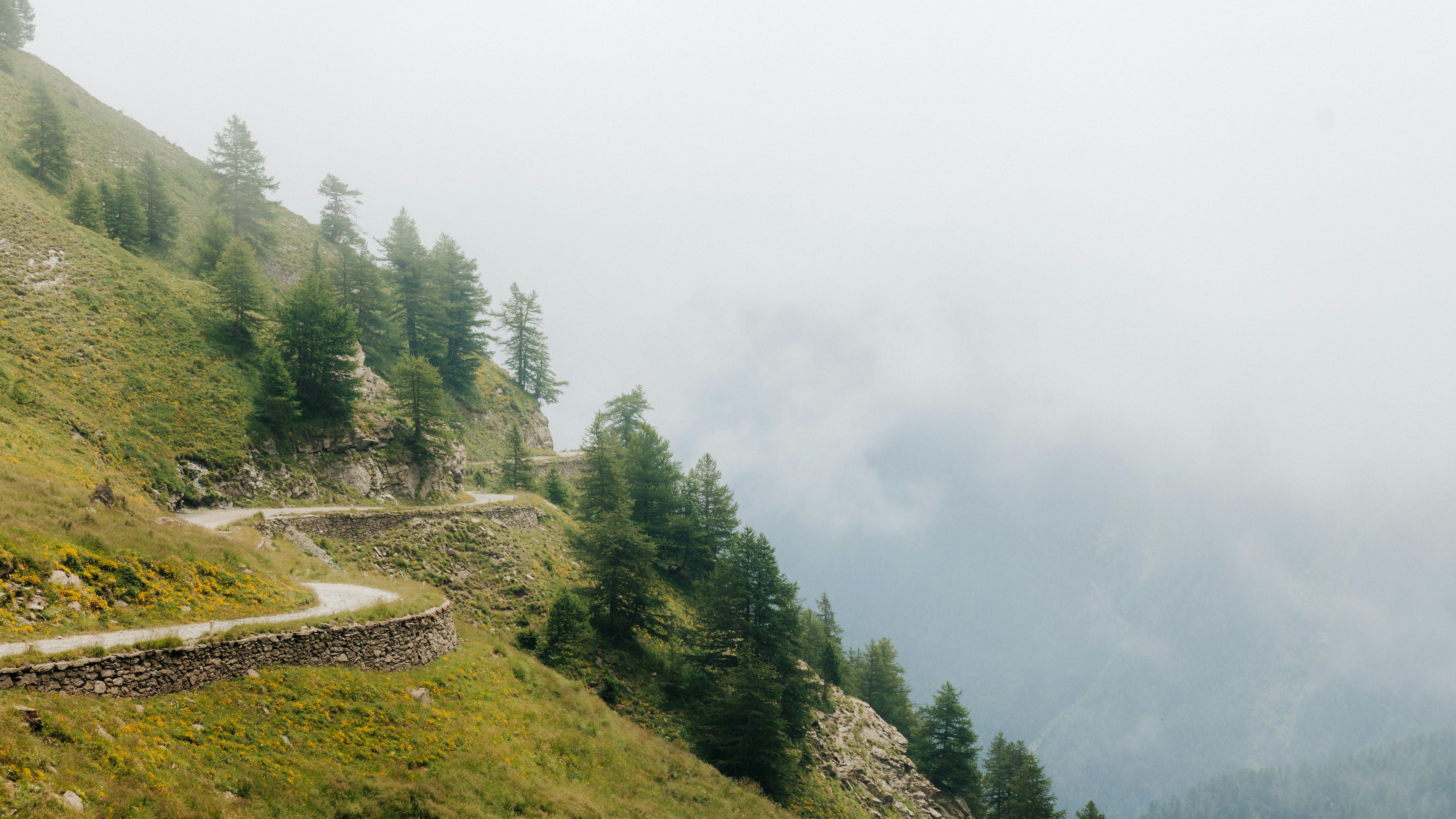
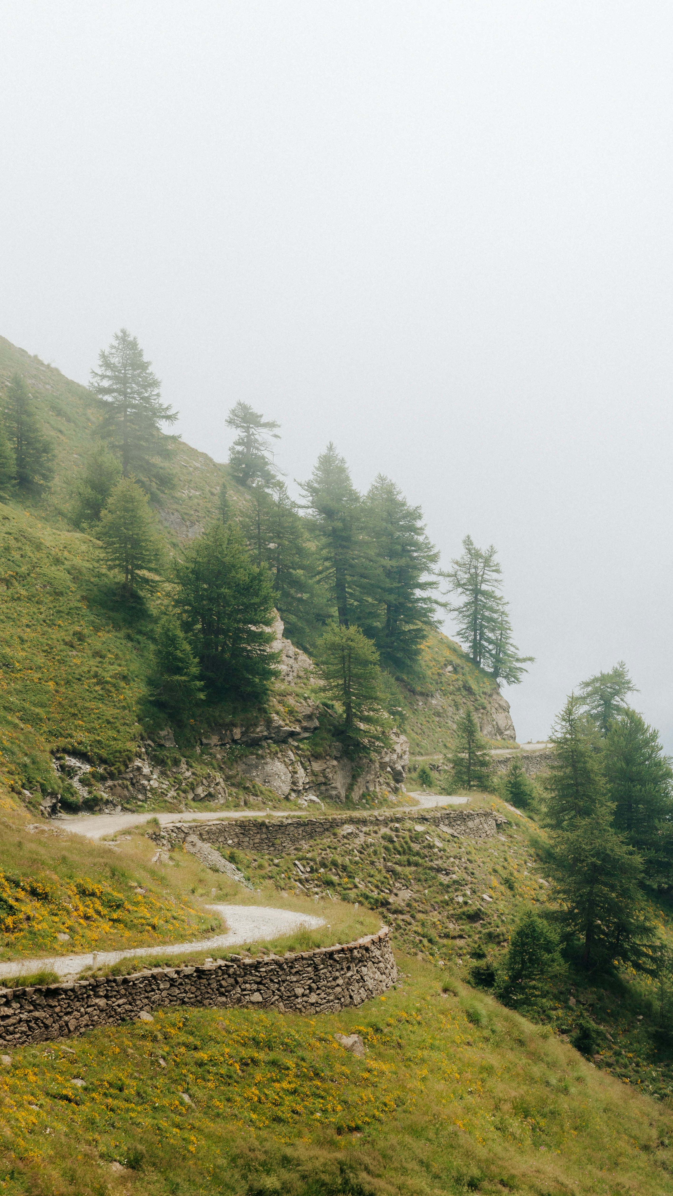
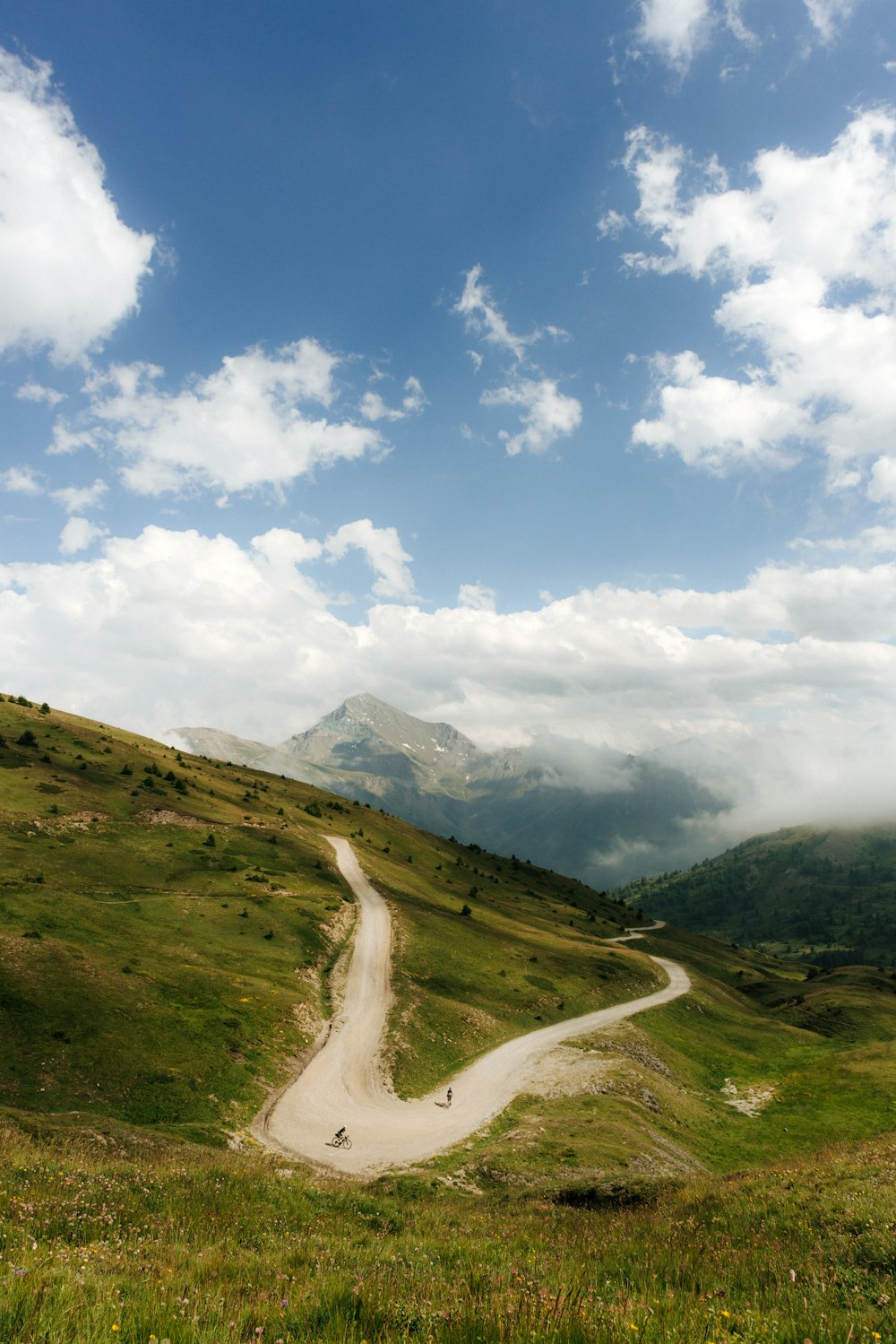
Modern gravel bikes, heavier but also more comfortable, curve smoothly over the thirty-three hairpin corners, and after a few hours, from the top of the climb you can look out over the Val Chisone, provided you are lucky: often the summer heat pushes the humidity of the valley floor up here enveloping the pass in a thick fog. Next to the road sign – covered in stickers like so many others – is a fountain and, a little further on, a bas-relief of Danilo Di Luca, the first in 2005 to go over the pass.
Modern gravel bikes, heavier but also more comfortable, curve smoothly over the thirty-three hairpin corners, and after a few hours, from the top of the climb you can look out over the Val Chisone.
To tell the truth the sculpture hasn’t aged too well in the intervening years.
The asphalt on the side of the Val Chisone is flawless. Descending it in low grip position, images of Froome’s furious descent on that May 25, 2018, flash to mind. You’ll be around here late in the afternoon, when many tourists have already returned home. So, if you find yourself alone on these harpin corners, make the most of the landscape as you speed through pastures dotted with placid cows.
Then, in the turns to the left, take the time to look up at the pyramid above the Colle delle Finestre: what you see is Français Pelouxe, and if you are also a ski mountaineer you will definitely want to return here in another season.
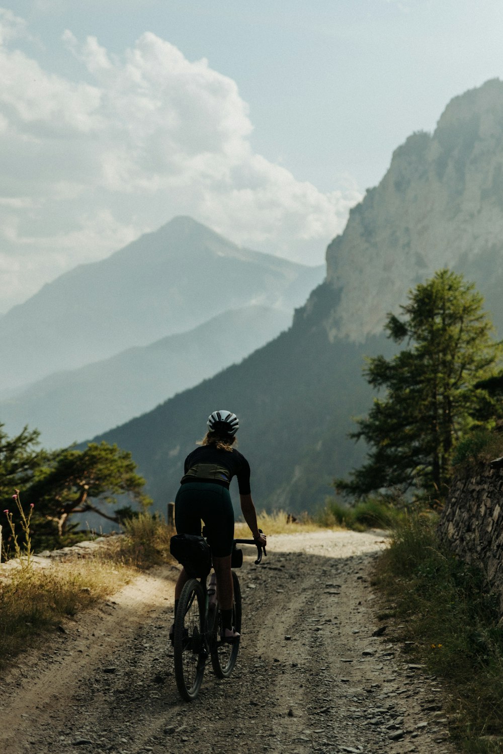
If one thinks about what features a road should have in order to enhance the qualities of a gravel bike – and perhaps even give it meaning – it is curious to conclude that, in many cases, they are the same features that a road required in the past in order to move vehicles and armies between mountains. A dirt roadbed, consistently moderate gradients, optimal visibility over the surrounding valleys-the road to Colle dell’Assietta has it all. In the end, its construction is due precisely to the tactical necessity of serving the fortifications from which, at the beginning of the 20th century, they could monitor both what was going on in the mountains of the Chisone and Briançonnais valleys and what happened in the Val do Susa on the opposite side. Both sides at stone’s throw away, or better, at point-black range.
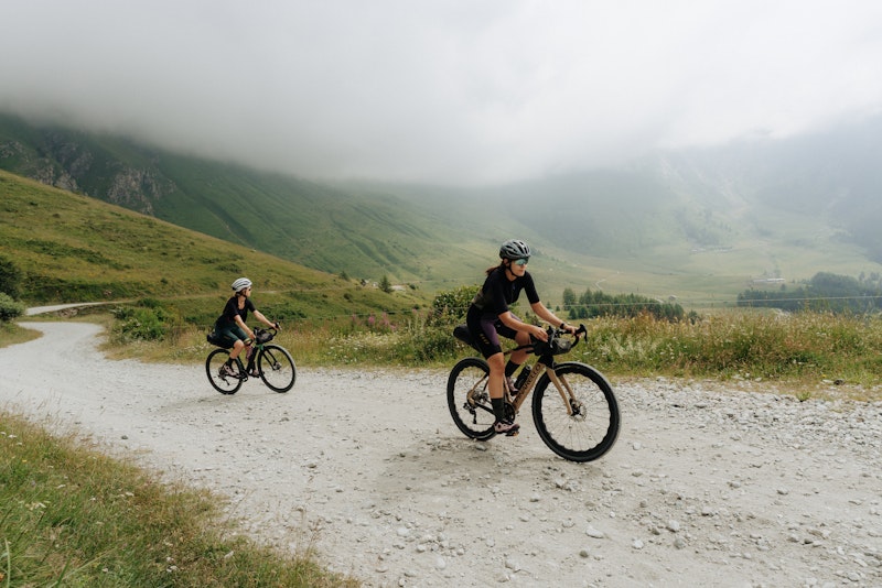
The kilometres of the Assietta proper are just over thirty. From the meadows below Cima Ciantiplagna, you climb up to the ridge that, practically on a continuous line, leads up to Mount Triplex, that in the winter you can reach with the ski lifts from Sestriere and Sauze d’Oulx.
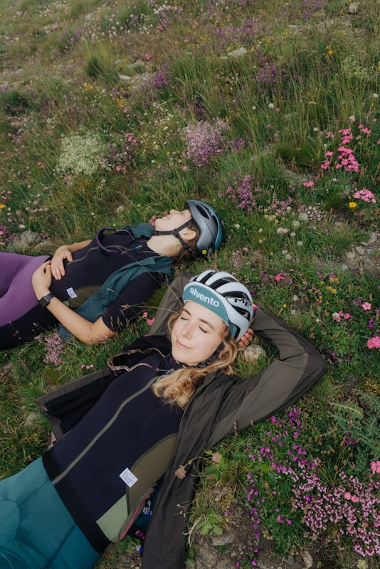
We set off it in the morning, just after breakfast. We are at the right time of summer, when the high meadows are blooming and the green is complimented by a thousand other colours. On the flat sections the dirt road is smooth, proof to the good maintenance that is done annually.
Near the Testa dell’Assietta there’s an obelisk commemorating the place where, in July 1744, six thousand Savoy soldiers opposed three times as many French enemies, holding the position. Noiàutri i bogioma nen da sì – we shall not move from here – shouted, in the local dialect, the Savoy commander to encourage the troops. Today, two centuries later, the Piedmontese are still known for being the stubborn ones who will not give up their position: the bogianen, indeed.
The Assietta climbs are fluently alternated with the level stretches, and the road in fact faithfully follows the ridge line that overlooks the surrounding valleys. Sestriere is there, surrounded by the Val Troncea and the Valle Argentera, where in 1944 the American aircraft Miss Charlotte crashed on its way to supply the partisans from the area of Cuneo. Over there is Monviso, a place that needs no introductions, and a little further on we see is its doppelganger on French soil, the Pic de Rochebrune; the Chaberton, on which the ruins of the highest fortification in Europe still remain; the mountains of the Three Kings-the Melchior, Balthazar and Gaspar peaks-that dominate Bardonecchia, a piece of the Dolomites (the same type of rock) transplanted to the western end of Italy; the wild Ambin range; and, further on, the Rocciamelone, whose summit, according to one legend, was first conquered by man in 1358.
The descent on Sestriere suddenly throws us into the busy traffic of a tourist resort at the height of summer, but it is a short-lived disturbance. After a few kilometres on a state road, we turn sharply toward the Monti della Luna, straddling Clavière and Montgenèvre. The rifugio Mautino is the right place for a slice of pie, especially if you are a skier. This historical hut was built by the Ski Club Torino, founded in 1901 by a group of passionate skiing pioneers. Their godfather, Adolfo Kind, a Swiss entrepreneur transplanted to Turin, was, in 1896, the first to have a pair of skis – back then still pronounced ski in Italian – shipped from Switzerland to demonstrate their practical use first in the living room and garden of his home, then on the snow-covered bumps of Parco Valentino and the urban slopes of Monte dei Cappuccini, and finally on the slopes of Monte Cugno dell’Alpet, between Val Sangone and Val Chisone.
We cross the border with France, which is just a line on the map: the mountains and people are still the same. After all, from the mid-14th century until the French Revolution, for four centuries the Republic of the Escartons was in force here, a community that spread over a territory of five valleys, on either side of the Alpine watershed, and that enjoyed, by concession of the Kings of France, certain political and fiscal privileges. In short, a kind of prototype cross-border reality, a kind of small European Union established centuries ahead of time.
The Val Clarée, with its straight roads surrounded by conifers, is the best way to end the day and relax your legs before the climb to the Col de l’Échelle, or Colle della Scala, so to speak. As you ride the hairpin corners descending toward Bardonecchia at sunset, the views of the Gulgia Rossa and the Valle Stretta, are worth the price of the ticket.
If you travel from Bardonecchia along the narrow provincial road leading to the hamlet of Rochemolles, it’s hard not to notice to the rock walls looming over the narrow side valley that acts as an offshoot of the basin where the Val di Susa ends. It’s no coincidence that this small hamlet was built in such an impervious place: it was founded by a gang of Saracen brigands, who, around the year 1000, coming from North-Saharan Africa and Arab Spain, infested the coasts of Provence and Liguria and pushed on, raiding the inland as far as the Alpine valleys.
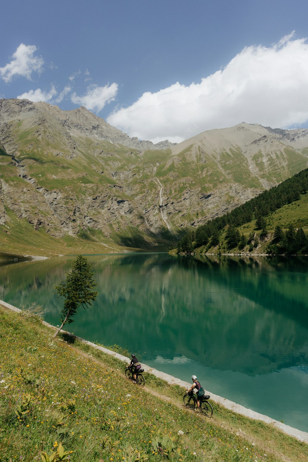
If on the Assietta you were at the top, here you are beckoned into the belly of the mountain: all around there are peaks over 3.000 metres high, and further on, you see the Écrins massif, culminating with the Barre at 4.102-metres. These are names better known to mountaineers than to cyclists, but it can be enough to add a detail to bring them to mind. Just a few more kilometres and you have reached the dam, from where a flat stretch begins, that you cover in one breath: it’s called Decauville, because it was originally created to run the little service train for the dam workers. The train was indeed a decauville type.
Just enough time to start enjoying the party, before you need to get busy again. The climb up to Fort Föens is at double-digit gradient for a considerable stretch, and here in the summer you can’t fail to notice the hot temperature. You are inside what is known as a xerothermic oasis: an area where the average temperature is higher than in the rest of the valley, which, while it may make it interesting for fans of alpine flora, makes it uncomfortable, to say the least, for those who have to cycle in the sun.
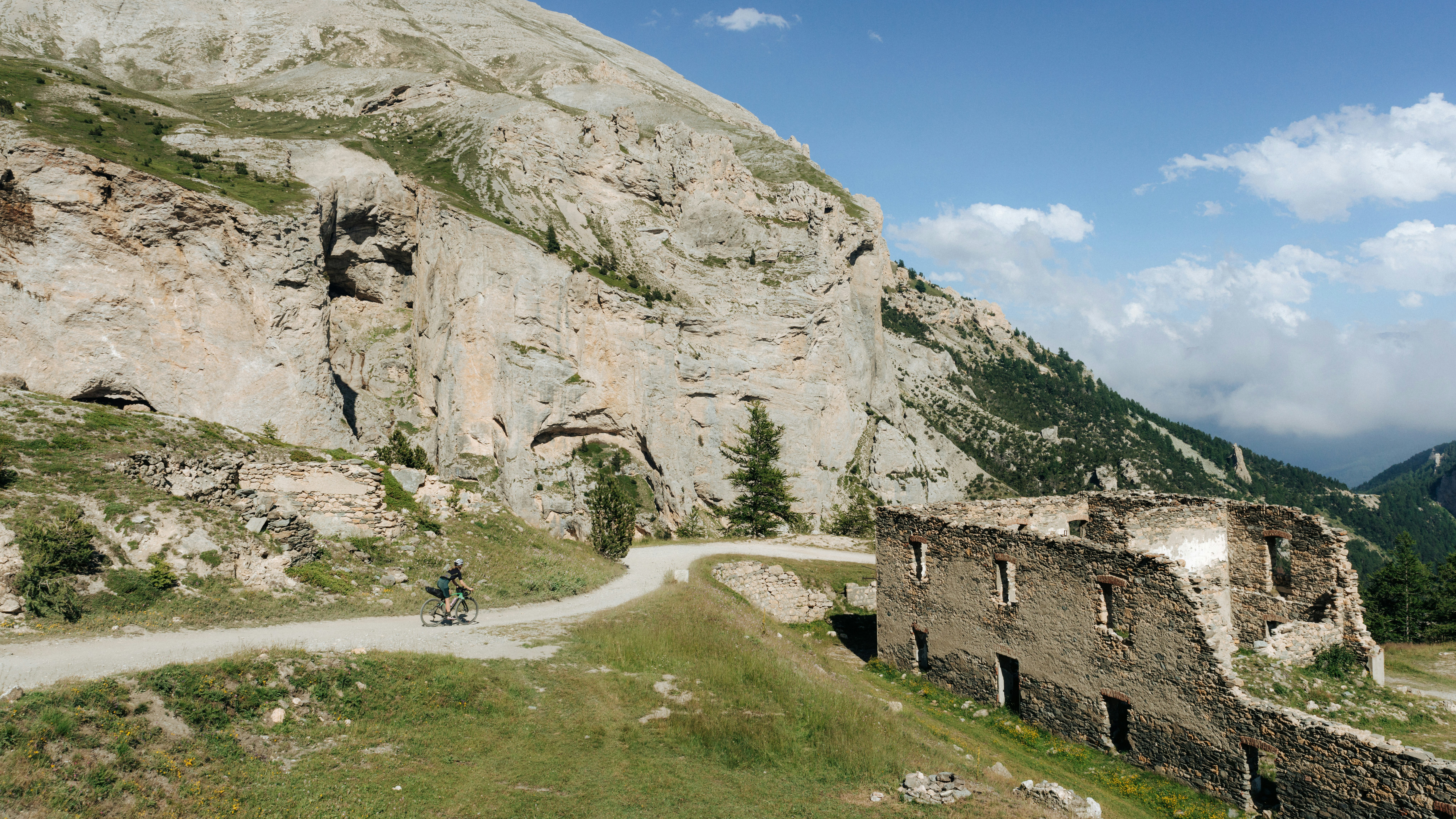
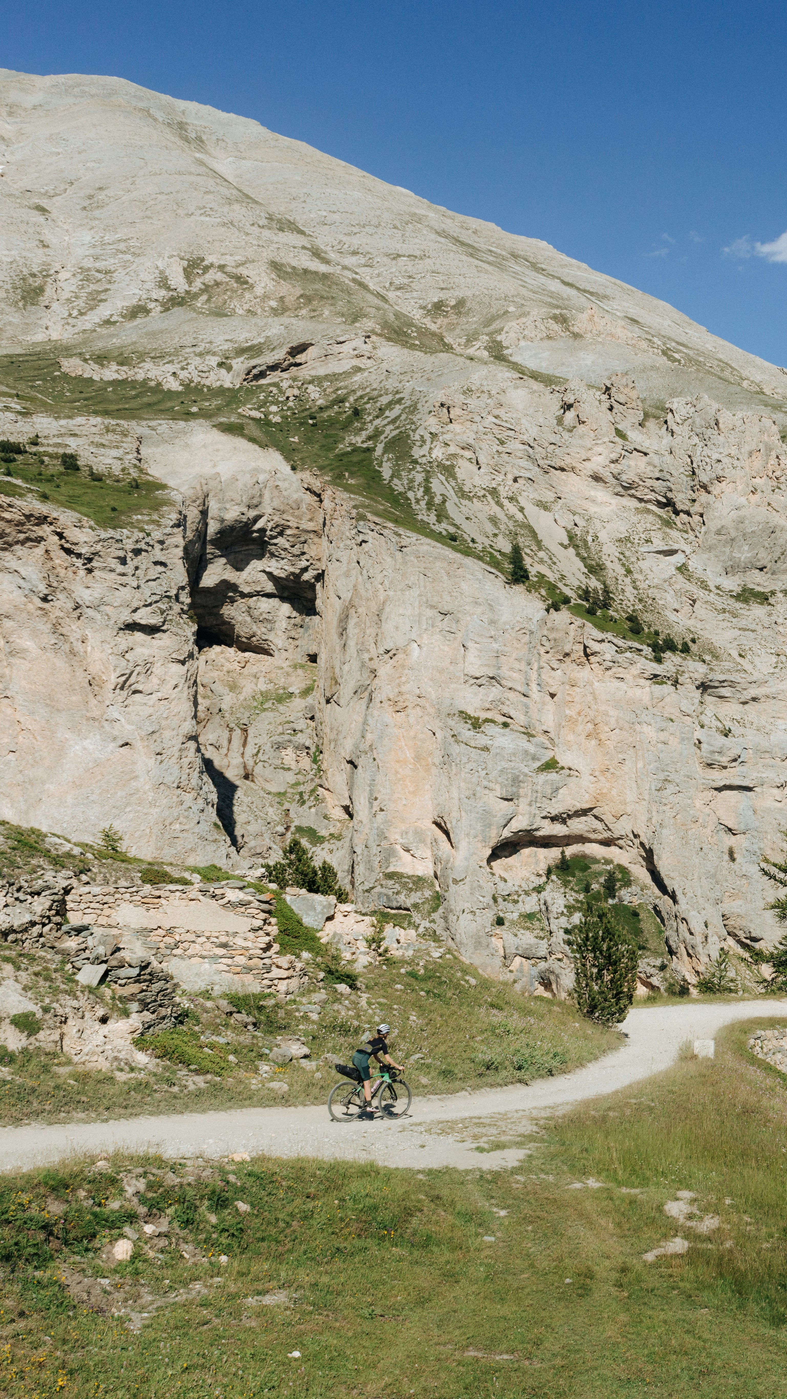
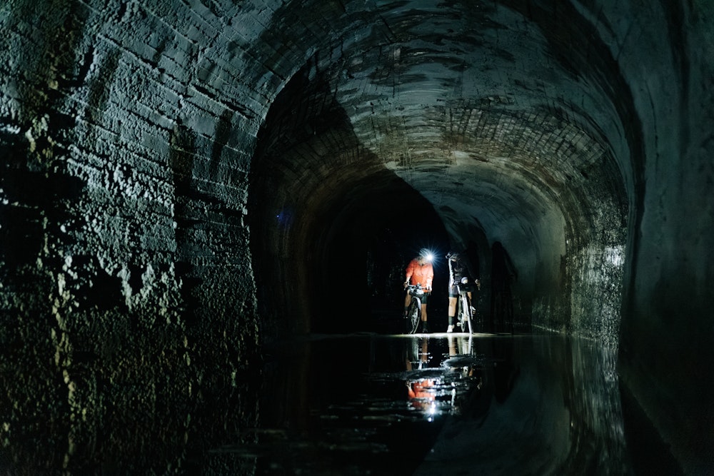
Like many other fortifications in the area, the Föens was such a waste of resources that during World War I its cannons were dismantled and transported to the Eastern Front. Not so bad after all, since the legacy left to us is the road that cuts through the steep sides of the mountain to the turn from which we can see the real reason we have come this far: the limestone formations of Mounte Seguret that give rise to the Grotte dei Sareceni. They say that brigands hid looted treasure in the heart of this mountain, although no trace of it was ever recovered. What is certain, however, is the presence of the eponymous military tunnel, built to avoid the steep climbs and shorten the route. Cycling through the tunnel is a peculiar experience: completely in the dark for almost a kilometre, the temperature drops several degrees and the trickle of seepage is almost constant.
Having left Fort Pramand behind us, we now have a session on the menu that will test the endurance of hands, arms and shoulders: more than 1.200 meters descent on dirt road, a nosedive to the valley floor of Salbertrand, on a terrain that will test the limits of nya gravel bike. The graffiti reading ‘DUX’ on the retaining wall of a hairpin corner is just a reminder of dark times, and riding past it carelessly, whistling, is perhaps the best way to banish it.
We bid farewell to the upper valley with the Fort of Exilles, for centuries a war fortress placed to guard a bottleneck in the upper Susa Valley, which today is a beautiful example of the conversion of a historic site to a contemporary museum structure. The grassy embankment of the fort has for the past few years been home to Il Terso Paradiso, a land-art work by Michelangelo Pistoletto: a re-elaboration of the mathematical sign of infinity, to which a third central circle has been added, drawn by the thousands of mountain lavender plants. In the artist’s intention, the work, spectacular in the blooming season, symbolizes a message of man’s newfound and reconciled harmony with the environment and nature.
Approaching Turin there is still ways to make sense of the bundle of roads that characterizes the lower valley. After Almese we take the firebreak track of the Musiné, one of the peaks closest to Turin as well as one with the most peculiar history. The place has always been imbued with an esoteric aura that no one has ever wanted to fully disprove, probably for folkloric reasons. One tradition, without any definitive proof, has it that here, around 311 AD, Constantine the Great had the apparition of a flaming cross bearing the inscription In hoc signo vinces – under this sign you shall triumph – and that this determined the Roman emperor’s conversion to Christianity; it’s said that in the Middle Ages witches would convene in these parts to harvest magical herbs; in the 1980s, instead, two boys showed signs of conjunctivitis after seeing aliens land and disembark, and a little later, some other hikers reported they had seen atmospheric ghost-lights.
Probably one travels too fast on a bicycle for apparitions and signs of black magic to catch their eye. It is instead a real pleasure to meet so many people who now regard this area as a kind of extension of Turin’s city parks. Having crossed the Dora Riparia for the last time, we have one more box to tick off before getting back on the train free of regrets: the moraine hill of Rivoli, that with its forest roads leads to another place where historical eras playfully overlap with one another.
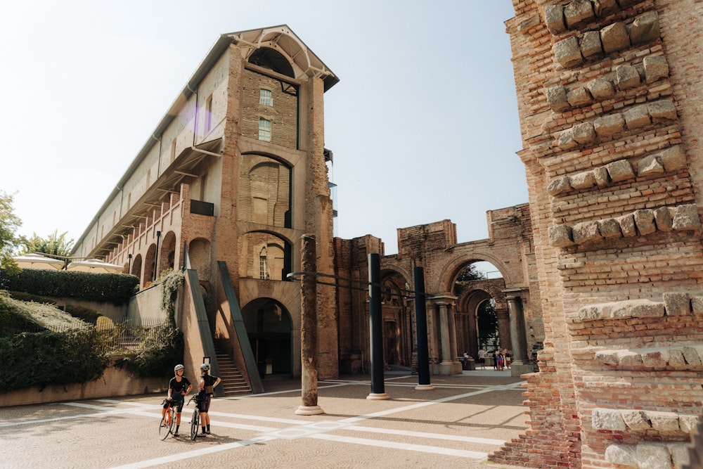
Set on fire by the French, it was restored and reused as barracks and finally abandoned to itself. Then, at the end of the twentieth century, restoration works began, turning it into one of the leading contemporary art museums in Italy. Gabriele Basilico, Maurizio Cattelan, Lucio Fontana, are just some of the artists whose works are housed in this spectacular palace.
We return to Avigliana after almost three hundred kilometres, having chosen to do the complete tour without taking trains. If you feel like doing a little more cycling, you can go down into Turin and visit the city and a gravel bike will come in handy on the cobblestones of the centre. If, on the other hand, you still have a few days left, you could wash your socks and t-shirts, fill your water bottles and set off again. The mountains around Val di Susa are only a small part of those surrounding Turin. You could head south towards Monviso and the Alpi Marittime, cross them and reach the Gulf of Nice. Or head north, where Piedmont touches the Val d’Aosta and the peaks are even higher. There are enough kilometres here to always have an excuse to set off on your bike, practically never leaving Piedmont and always finding a road to return home. After all, we are cyclists, but first and foremost we are bogianen, the stubborn kind, who will not give up!
Bike type
Gravel
* informazione Publiredazionale
Texts
Federico Ravassard

Photos
Federico Ravassard
Cycled with us
Charlotte Kohll, Natalia Melatti
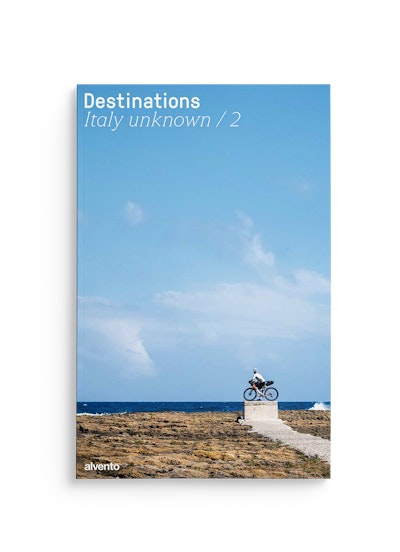
This tour can be found in the super-magazine Destinations - Italy unknown / 2, the special issue of alvento dedicated to bikepacking. 12 little-trodden destinations or reinterpretations of famous cycling destinations.
